What would you like to do?
Lubbock, TX
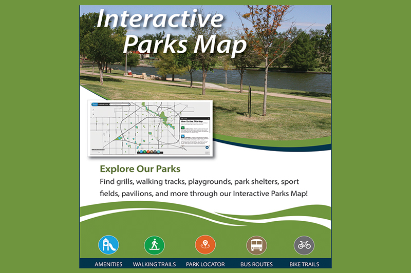
Parks and Recreation Launches Interactive Parks Map
Parks and Recreation is excited to announce the launch of a new Interactive Parks Map on its website at www.playlubbock.com. This interactive map allows citizens and visitors to easily explore the numerous parks in the City of Lubbock from a computer, tablet or phone. Zoom in to a favorite park and discover all the things the park has to offer. Search by a particular amenity or pinpoint a part of the city to find what parks are in the area. There are many detailed features that can be found in the map such as trees and their species, which picnic pavilions can be rented, where restrooms are located and more. Icons included in the map (see below) allow users to filter the data in a variety of ways including amenities, walking trails, parks nearby, bus routes and bike trails. The Interactive Parks Map is a great resource for the public to use to find all of our great amenities located in City parks.
- Amenities – Looking for a specific amenity? Use the Amenities tool to find exactly what park you are looking for by searching with one of 54 amenity types from baby swings and boat ramps to volleyball courts and water features.
- Walking Trails - Want to take a walk? We have a calculator that will show you the perfect park for you. Just type in a range of how far you want to walk and all the parks within that distance will be displayed.
- Parks Near Me - Do you know what parks are near you? Use the Near Me tool to pinpoint a location within the city and to find out which parks are closest to you. Zoom in on one of the parks and see the amenities located there.
- Transportation - Don’t feel like driving? We also have transportation data for alternate ways to get from place to place. Bus routes with stop locations and bike trails for the city are just a click away!
The Interactive Parks Map was developed by the City of Lubbock Geographic and Information System (GIS) and Data Services Department with assistance from Park Development. They created this map by taking a variety of geographic data sets that the City maintains and put them together so that the public can easily find the information it needs. In addition, there are some GIS tools included in the map that allows users to filter the data to find certain amenities in our parks. The maps are connected to the City’s data sets that are edited and updated regularly, so unlike a traditional map that freezes a location in time, the map is constantly evolving and gives an up-to-date picture of the data that is included. When a new playground is added or a new trail is completed in a Lubbock park, the information will be available on this map. Parks and Recreation appreciates all the hard work that went into this great tool for our citizens.
Other News
-
Lubbock Animal Services Seeking Medical Foster for Recuperating Puppy
-
Life Scan Wellness Exam Detects Cancer & Saves Life of Lubbock Fire Rescue Lieutenant
-
City of Lubbock Animal Services (LAS) Shares Weekly Metrics & Upcoming Events
-
The Buddy Holly Center Announces How to Use a Sketchbook: There are No Rules
-
New Exhibition Open at the Buddy Holly Center